| Elevation | 1289ft |
| Length | 550m |
| Width | 20m |
| Surface | Grass |
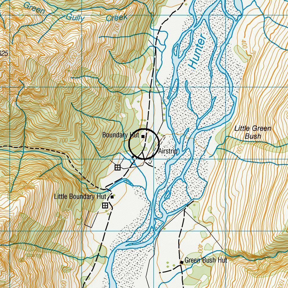
| Comment | Difficult to see until overhead,then vehicle wheelmarks visible. |
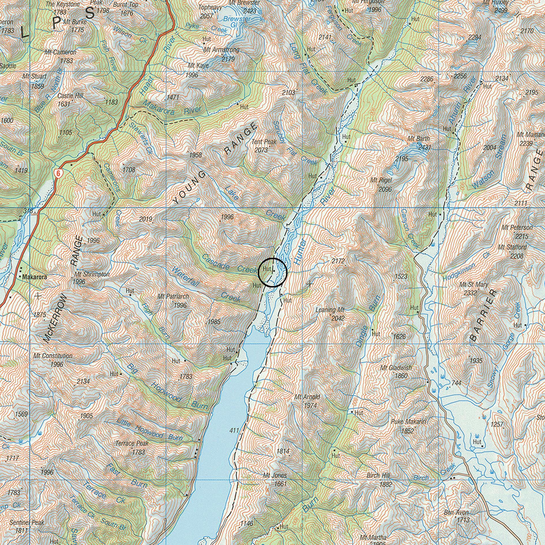
| Location | West side of river, 2 side stream (2nm) north of Lake Hawea. .5nm north of second side stream, adjacent bush, north threshold on river |
| Alternate | Dingleburn strip L301 10nm south |
| Retrieve | Aerotow |
| Station | Hunter |
| Contact | Taff Cochrane |
| Book | yes |